Carbon Utilization and Remote Sensing are changing how modern organic food is grown. Carbon farming focuses on capturing carbon dioxide from the air and storing it naturally in soil and plants. Remote sensing uses satellites, drones, and smart sensors to track soil health, crop growth, and carbon levels from above.
By combining these two practices, organic farmers can fight climate change, improve soil health, and earn extra income through carbon credit markets.
What is Carbon Utilization and Remote Sensing in Organic Agriculture?
Carbon farming includes natural agricultural methods—such as planting cover crops, practicing no-till farming, applying organic compost, and rotational grazing—that pull carbon out of the atmosphere and trap it in the ground.
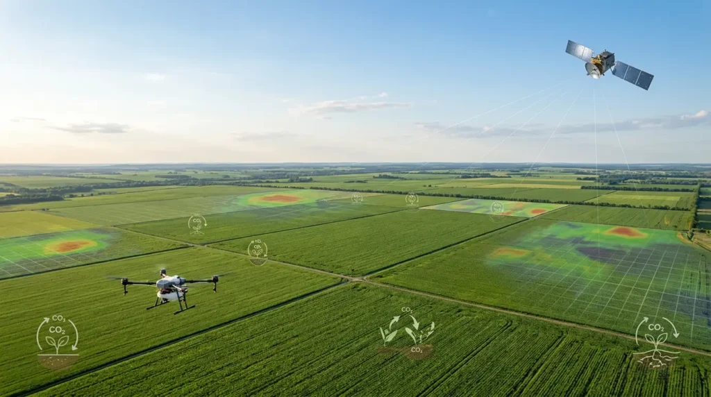
Remote sensing is the eye in the sky for carbon farming. Satellites and specialized drones take multispectral images of farmland to measure organic matter in the soil, monitor plant growth, and calculate how much carbon the land is storing—all without disturbing the soil.
How Remote Sensing Powers Carbon Farming
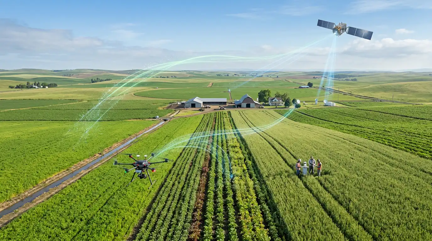
Using satellite imaging and drone sensors makes carbon farming far more practical and accurate for organic growers:
- Automated Soil Carbon Mapping: High-tech sensors detect organic matter levels across fields, replacing slow and costly manual soil sampling.
- Real-Time Vegetation Tracking: Satellite data measures crop density and leaf health to show how effectively plants are absorbing atmospheric carbon.
- Targeted Cover Cropping: Remote imagery pinpoints bare or degraded patches of land where cover crops are needed most to rebuild topsoil.
- Early Soil Stress Alerts: Sensors spot moisture loss, erosion risks, or organic carbon decline early so farmers can adjust their soil care plans.
What are the Economic Benefits of Carbon Utilization and Remote Sensing?
Adopting carbon farming backed by remote sensing tech gives organic farmers brand-new revenue streams while lowering farm operational costs.
1. New Revenue from Carbon Credits
Companies pay farmers carbon credits for storing carbon in their soil. Remote sensing provides the verified data needed to earn certified carbon credits, turning sustainable soil care into a direct paycheck.
2. Drastic Savings on Soil Testing Costs
Taking physical soil core samples across hundreds of acres is labor-intensive and expensive. Remote sensing satellite maps cut down physical testing needs by up to 50% to 70%, lowering verification costs.
3. Protection Against Drought and Climate Risks
Higher soil organic carbon helps the ground hold significantly more water. Soil that retains moisture protects crops during dry spells, cutting irrigation bills and protecting harvest revenue.
4. Stronger Premium Branding
Verified carbon data gives organic brands proof of their climate-positive practices. Consumers willingly pay top prices for produce certified as carbon-neutral or regenerative.
Traditional Organic Farming vs. Remote-Sensed Carbon Farming
| Feature | Traditional Organic Farming | Remote-Sensed Carbon Farming | Economic Impact |
| Soil Health Tracking | Manual soil sampling (slow & costly) | Satellite & drone imaging (fast & automated) | Reduces soil testing expenses and saves labor hours. |
| Revenue Streams | Crop sales only | Crop sales + verified carbon credit payments | Unlocks an extra source of farm income per acre. |
| Water Retention | Standard organic moisture levels | High carbon content boosts water storage | Cuts irrigation costs and protects crops in droughts. |
| Supply Chain Proof | Basic paper logs | Verified satellite data for carbon credits | Increases product value and customer trust. |
What Challenges Do Carbon Farming and Remote Sensing Face?
Despite clear environmental and financial benefits, implementing this technology comes with real field challenges:
- High Sensor & Software Costs: Setting up farm-level drone systems or accessing high-resolution satellite platforms can require upfront investment.
- Complex Carbon Market Rules: Carbon credit verification standards vary globally, making it confusing for smaller farmers to navigate payouts.
- Technical Learning Curve: Farmers must learn to read digital spatial data and satellite heatmaps alongside traditional farm management.
What is the Future of Carbon Utilization and Remote Sensing?
The integration of remote sensing and carbon markets in organic agriculture is growing rapidly:
- AI-Powered Carbon Verification: Artificial intelligence will combine satellite maps with weather forecasts to predict soil carbon gains automatically.
- Smartphone Carbon Tracking: Easy-to-use mobile apps will deliver simplified satellite reports straight to a farmer’s phone, showing soil carbon changes in real time.
- Government Incentive Programs: World governments are increasingly tying agricultural subsidies directly to verified soil carbon retention and climate-smart practices.
FAQs about Remote Sensing and Carbon Utilization
Carbon Utilization and Remote Sensing bring data-driven accuracy to organic agriculture. By using satellites and drones to measure and verify carbon stored in healthy soil, organic farmers can improve land fertility, build drought resilience, and earn extra income through carbon credit markets.